Royal Arch & Green Mountain Loop - December 2021
Summary
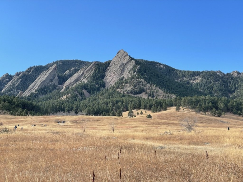
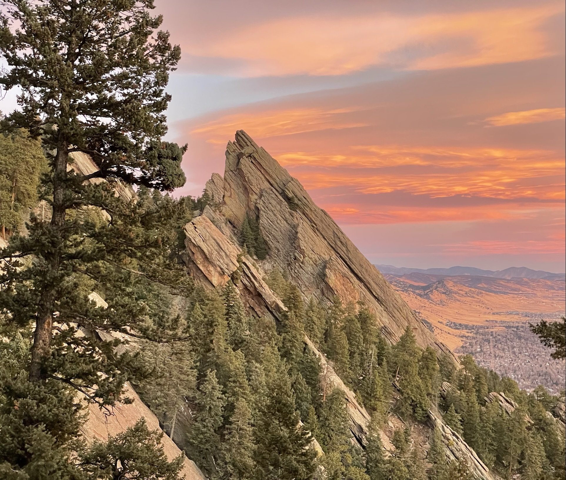
The Royal Arch & Green Mountain Loop is a figure eight style loop in the popular Chautauqua area outside of Boulder, Colorado. This area is also referred to as the Flatirons as there are 3 distinct flatiron mountains visible as soon as you park your car. The hiking area offers many different trail options ranging from just a couple miles, all the way to 10+ miles depending on what trails you combine.
We ended up hiking the loop linked above. Our mileage varied slightly from AllTrails at almost exactly 9.75 miles for the day. We largely followed the direction recommended on AllTrails for this hike, except we ended up hiking the Green Mountain loop “backwards” which in hindsight was probably a small mistake.
Where
The Chautauqua area is southwest of Boulder, Colorado. It is directly adjacent to the start of the wilderness and mountainous region that Boulder neighbors.
Logistics
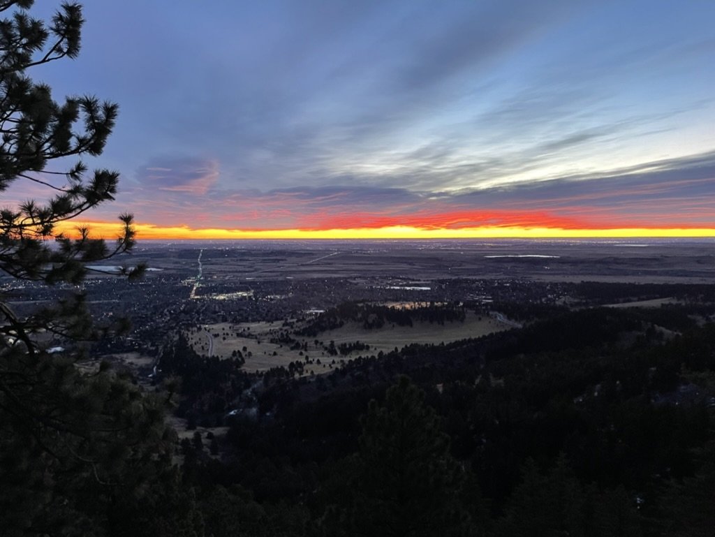
Staying in Denver, it was about a 35 minute drive to the trailhead. We were on the road around 5:30 and started hiking at 6. Given we were hiking in December, this meant the first 45 minutes or so was dark and required the use of a headlamp. By starting early, relative to the daylight, we had the trail mostly to ourselves for the first 2 hours of our hike. In addition to this, we were able to capture some unique photos of both Boulder and the mountains during the sunrise. I recommend considering starting early when hiking in this area as by the time we returned from our hike at 11, the entire parking lot was full and overflow parking was being used. This is a popular area to hike and rock climb. We hiked on a Sunday and I imagine it may be slightly less trafficked during the week, but being so close and accessible, it is likely busy every day.
Hiking
We arrived at the trailhead just before 6:00AM and due to the lacking daylight started our hike in the dark. We fortunately were greeted with some light pre-sunrise within about a half hour to 45 minutes. The weather this day was perfect, starting out a bit chilly and warming up as the sun rose. We chose to hike towards Royal Arch first for two main reasons, one, it would allow us to rehike some of the mileage that we hiked during the start in the dark and two, because it was the easier of the two major climbs for the day. Coming from Michigan earlier that week, we wanted to ease ourselves into the ~4,000ft of vertical gain this trail required.
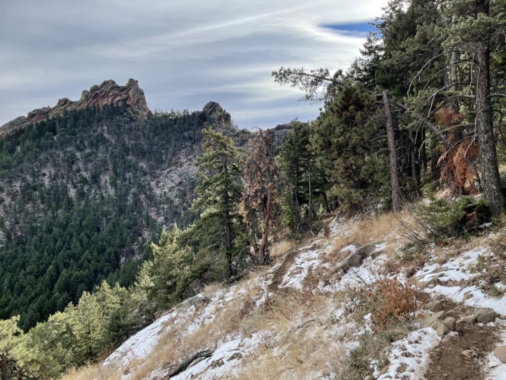
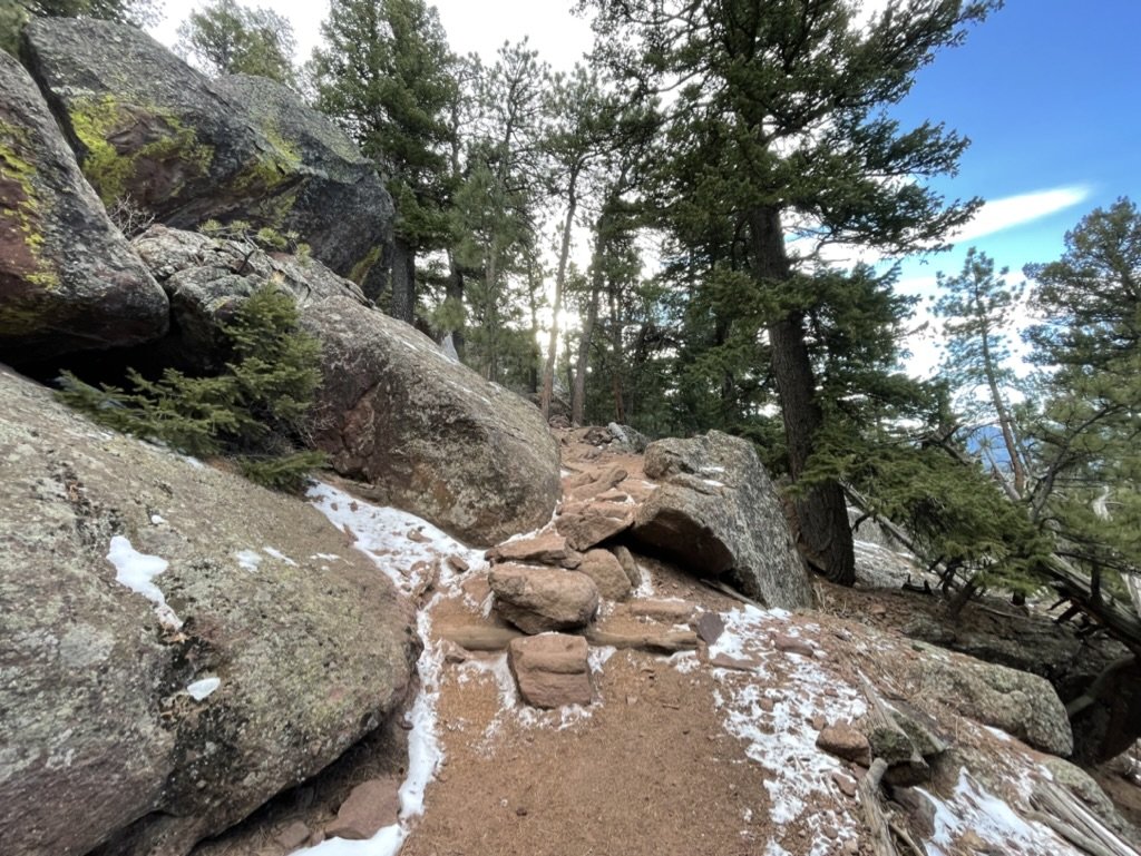
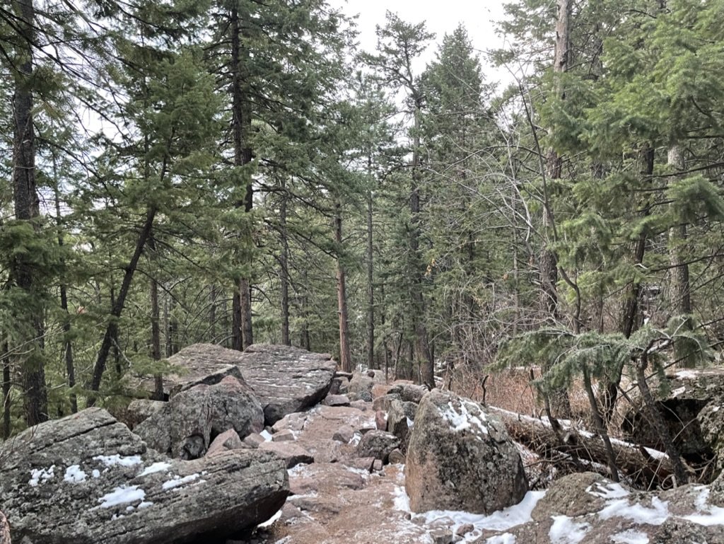
The hike to Royal Arch is pretty tame for Colorado’s standards and offers a forest-like feel that you wouldn’t expect so close to a city like Boulder. The contrast between the trail and the city behind us was one we noticed quite frequently while hiking and even in our first photos. As you get closer to Royal Arch, you notice the landscape shift a bit from pure forest to rocky terrain. This was a welcomed transition as this style of hiking is one that provides added challenge and diversity.
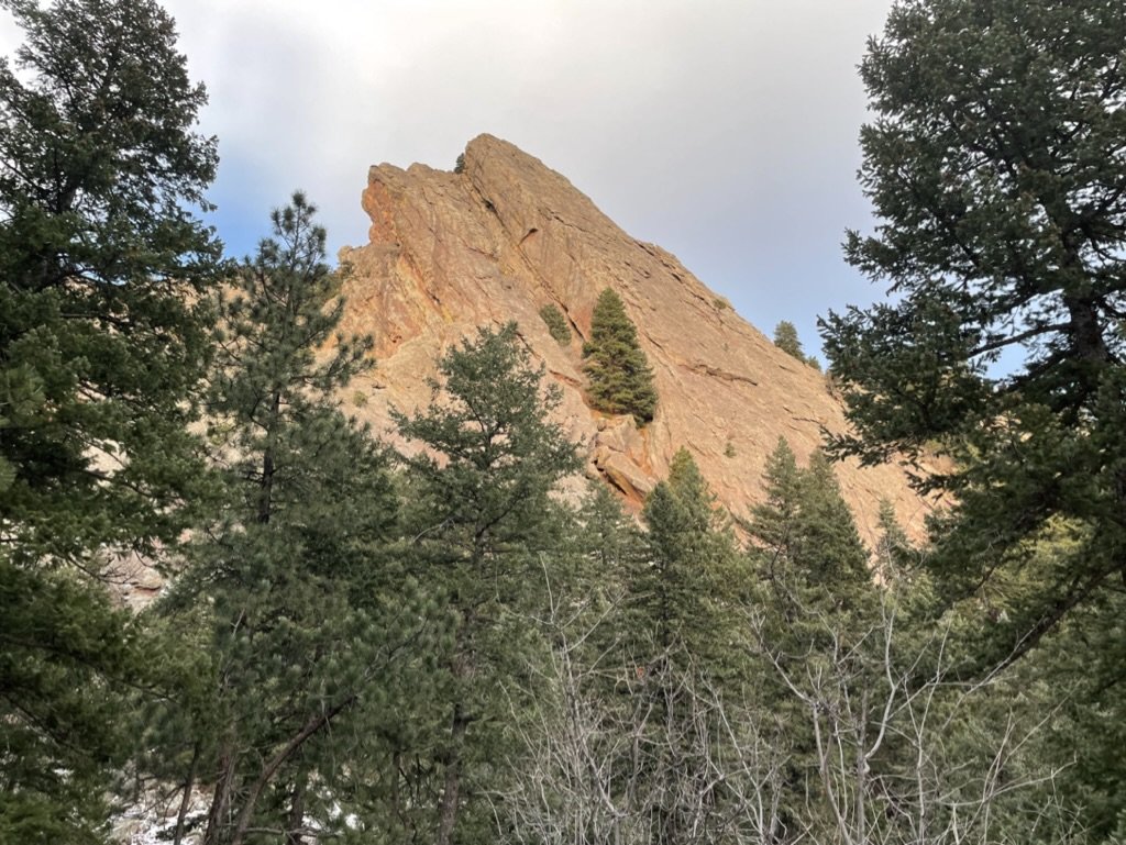
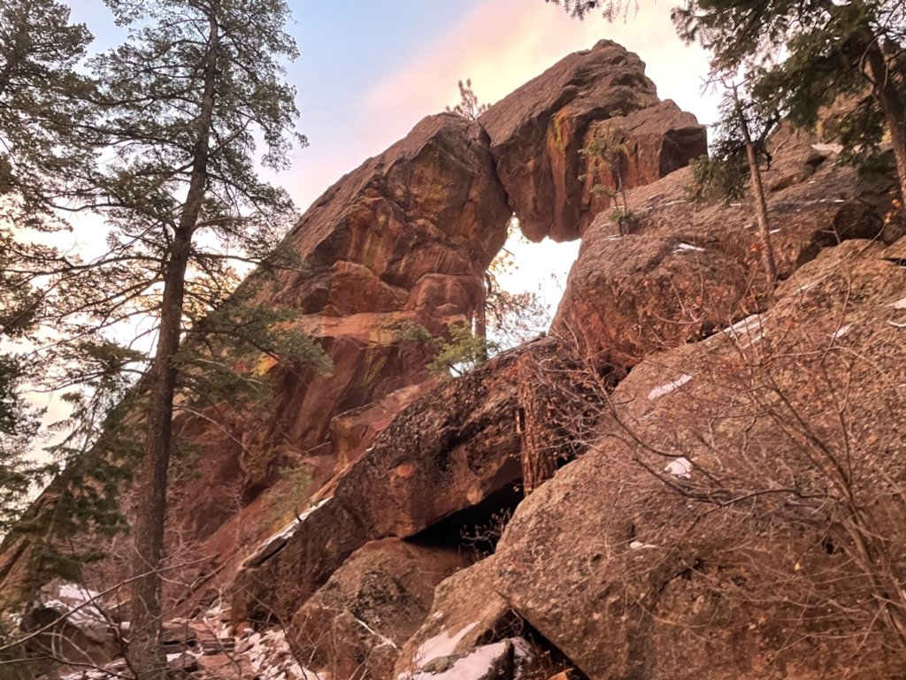
Finally, we arrived at Royal Arch and at the same time got a glimpse of our first Flatiron mountain. At this point we had entered the only “out and back” style hike of the loop, but our eyes were focused on the combination of the rock formation, mountains behind us, and the sunrise bubbling up over Boulder. The combination of these three events really uplifted our mood and had us motivated to continue exploring the area. We paused for a few minutes to take in the sunrise and surrounding area, then started our backtrack to enter the Green Mountain loop.
Once on the Green Mountain loop, we were awaiting the bigger of the two climbs. This climb would require about 2/3 of the trail’s elevation gain, or about 2,600 feet. From Royal Arch, it is a bit of a decline for a while until you get to a parking area that signifies the official start of the loop. As previously mentioned, we ended up likely hiking this loop backwards (counter clockwise) and would not recommend this route.
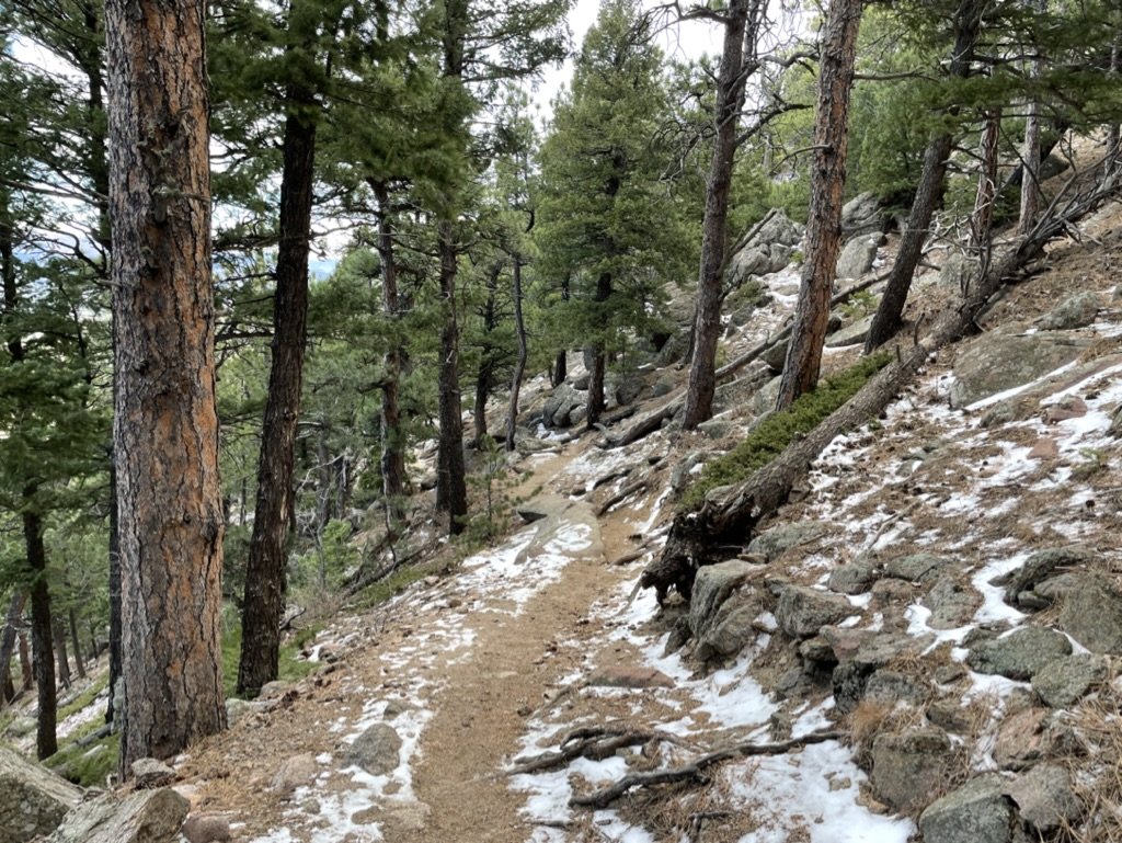
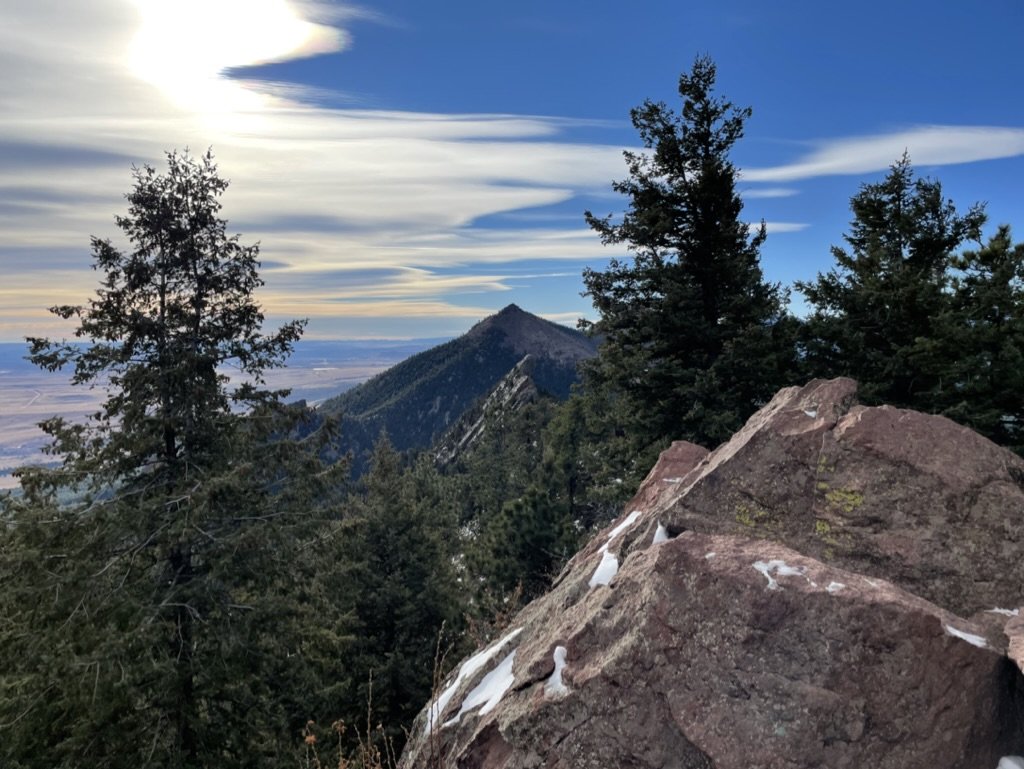
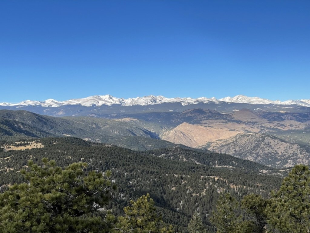
As soon as we started the loop, we knew we were in the heart of the climb. This climb is about 2.5 miles long and averages about 100 feet of gain per 0.1 of a mile. It was not super strenuous by Colorado standards, however it was a solid hour of consistent effort. As we approached the last half hour of the climb, we started to see the Rockies off to the northwest. This was a really uplifting sign considering we hadn’t had a glimpse of them on the drive in due to arriving in the dark. The contrast between the snow-capped mountains in the background and the landscape in the foreground reminded us of where we were and our surroundings.
Finally, we reached the summit of Green Mountain. There was a cool landmark at the top that noted the summit and doubled as a map highlighting the mountains that were visible from the summit. This was a cool feature that helped put everything into perspective considering we were at 8,200 feet and the mountains we were looking at rose above 14,000 feet. After stopping for a quick snack, we descended the remainder of the loop, taking the last of the views in as we could. By this time, the excitement of summiting a mountain and seeing some really unique rock formations was carrying us down to the trailhead as the recent experiences flooded our conversation.
This figure eight loop is a great introductory day hike in the Boulder area. At approximately 10 miles and 4,000ft of elevation gain it is challenging, but not overwhelming and ranging from 6-8,000 feet in elevation it is not going to take your breath away, at least not due to lacking oxygen. I would hike this trail again and recommend it to anyone that is looking to experience a solid challenge with a mountain summit and some really cool rock formations all from the outskirts of Boulder.
Photos
All photos were taken with my current phone at the time, which was the iPhone 12 Pro.