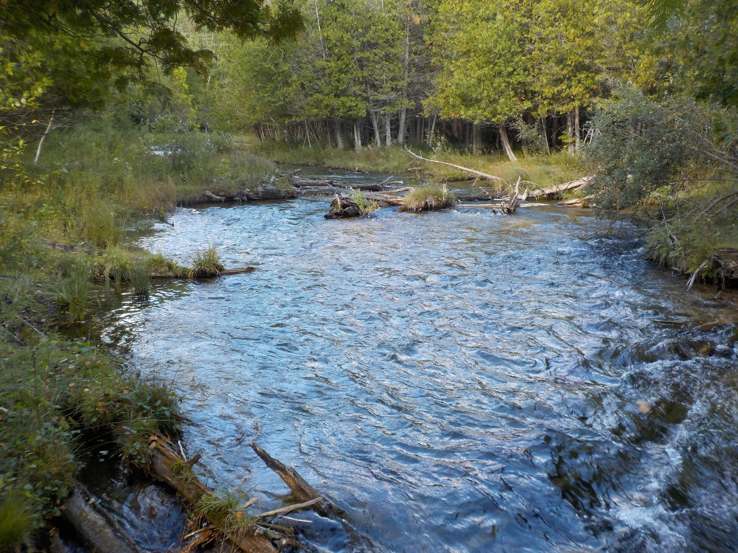
Jordan River Valley - September 2016
Summary
The Jordan River Valley trail is a very popular 19 mile loop located in Northern Michigan with the closest major town being Petoskey.
This is the trail that we followed exactly. At the time, we were pretty inexperienced backpackers, so we did this trail as a 2 day, overnight hike. I have since done this loop as a long day hike, which I have enjoyed just as much!
Where
The Jordan River is located in the western portion of Michigan Northern Lower Peninsula. It is pretty easy to get to with the majority of the driving being on main roads.
Logistics
This was a weekend trip, so not a lot of planning was done prior to the hike. We were inexperienced backpackers at this point, but wanted to get out for the weekend and enjoy nature! We started at the northernmost section of this trail and hiked counterclockwise. We camped at Pinney Bridge State Forest Campground, which was roughly the halfway point for this loop. It’s worth noting this campground is easy to get to from the south, so getting there early to ensure you can get a site is important. Hiking counter clockwise, you save most of the elevation gain for the back half of the loop.
Hiking
The Jordan River Pathway is an approximately 20 mile loop trail. Part of the trail is on the North Country Trail (NCT) and as you may imagine follows the Jordan River. Where you can see the Jordan River, it is very beautiful and offers some nice rest/dispersed camping options. We ended up taking a fishing break at one of those spots (video below). For the lower peninsula, this trail offers quite a bit of elevation change throughout the 20 miles. The west side of the loop is easier than the east side, which we found out about as we returned to our cars on day 2!
Photos
I’m not sure what phone I had at this time.


