Mount Elbert Summit - July 2021
Summary
There are a few different ways to summit Mount Elbert, Colorado’s tallest mountain, but we chose to summit using the North Mount Elbert trail. Mount Elbert sits at 14,400 feet and presented a great challenge at the end of our trip out west. One key takeaway from this hike was the value in acclimating before taking on a 14er. Having been at elevation for over a week, we were well adjusted to the altitude, at least well enough to avoid altitude sickness issues!
This is the trail we followed for this hike, but due to road closures our total mileage was closer to 13 miles. This trail features over 4,500 feet of climbing in just 5 miles, which averages out to 900 feet per mile. This is a pretty steep hike, especially once you get above treeline.
Where
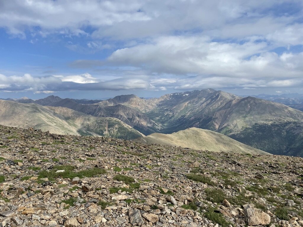
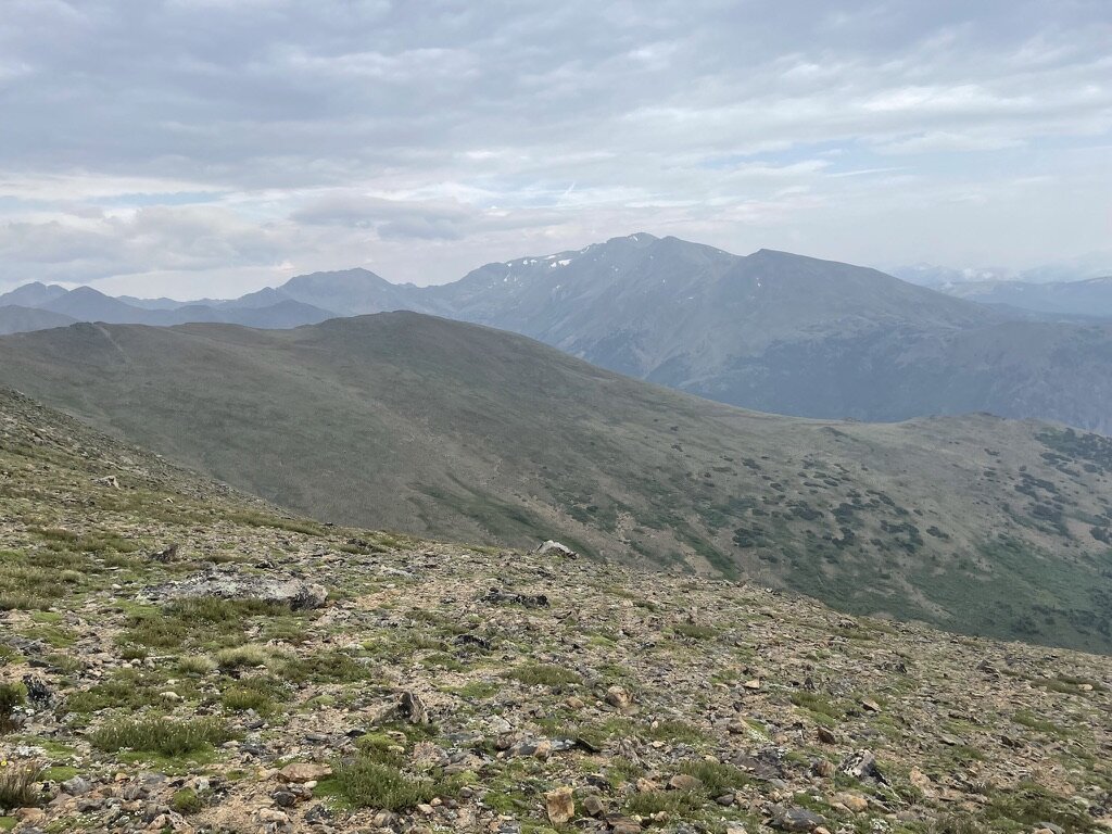
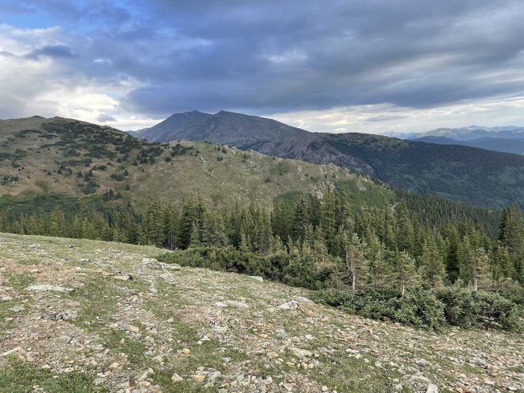
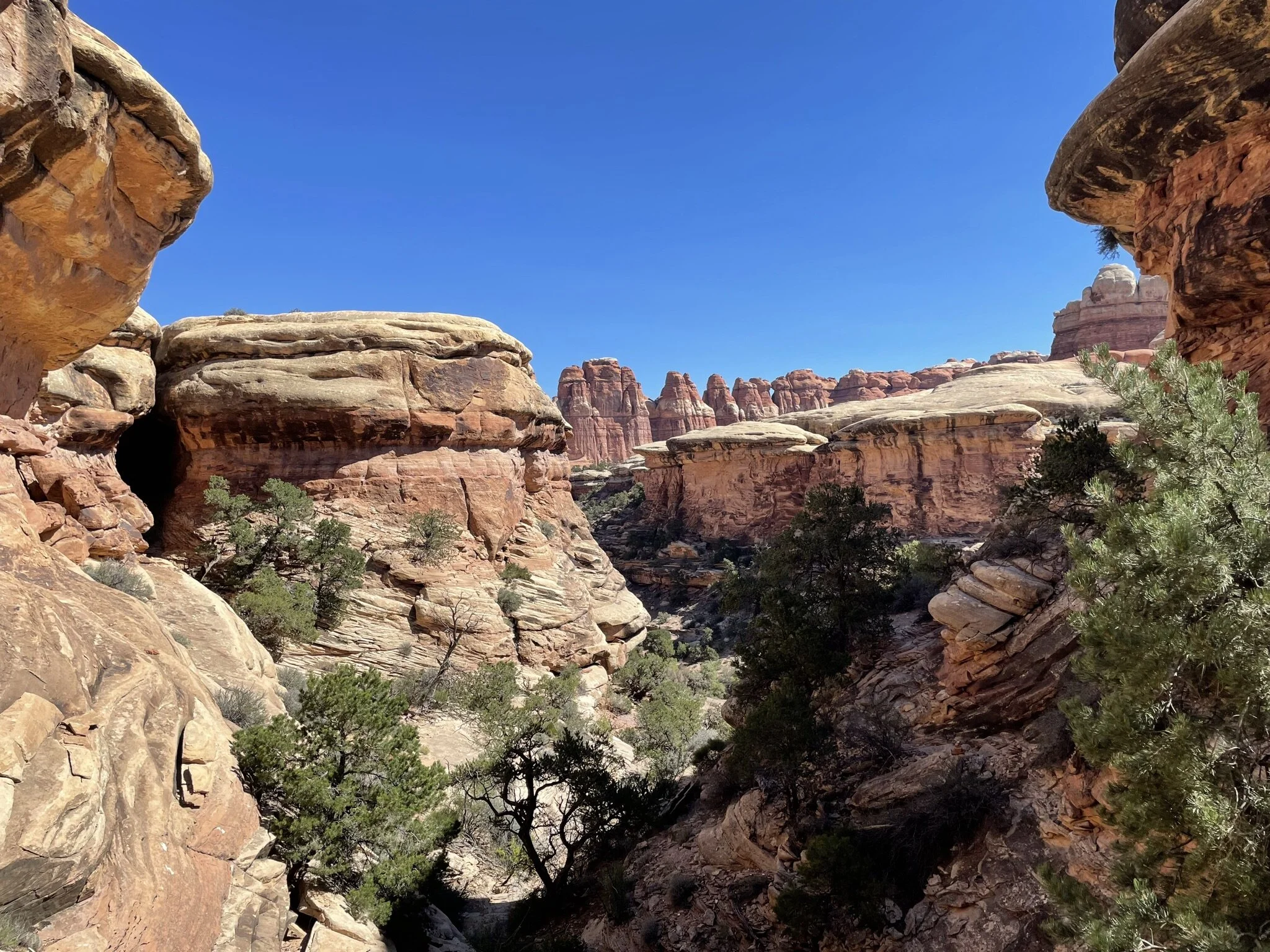
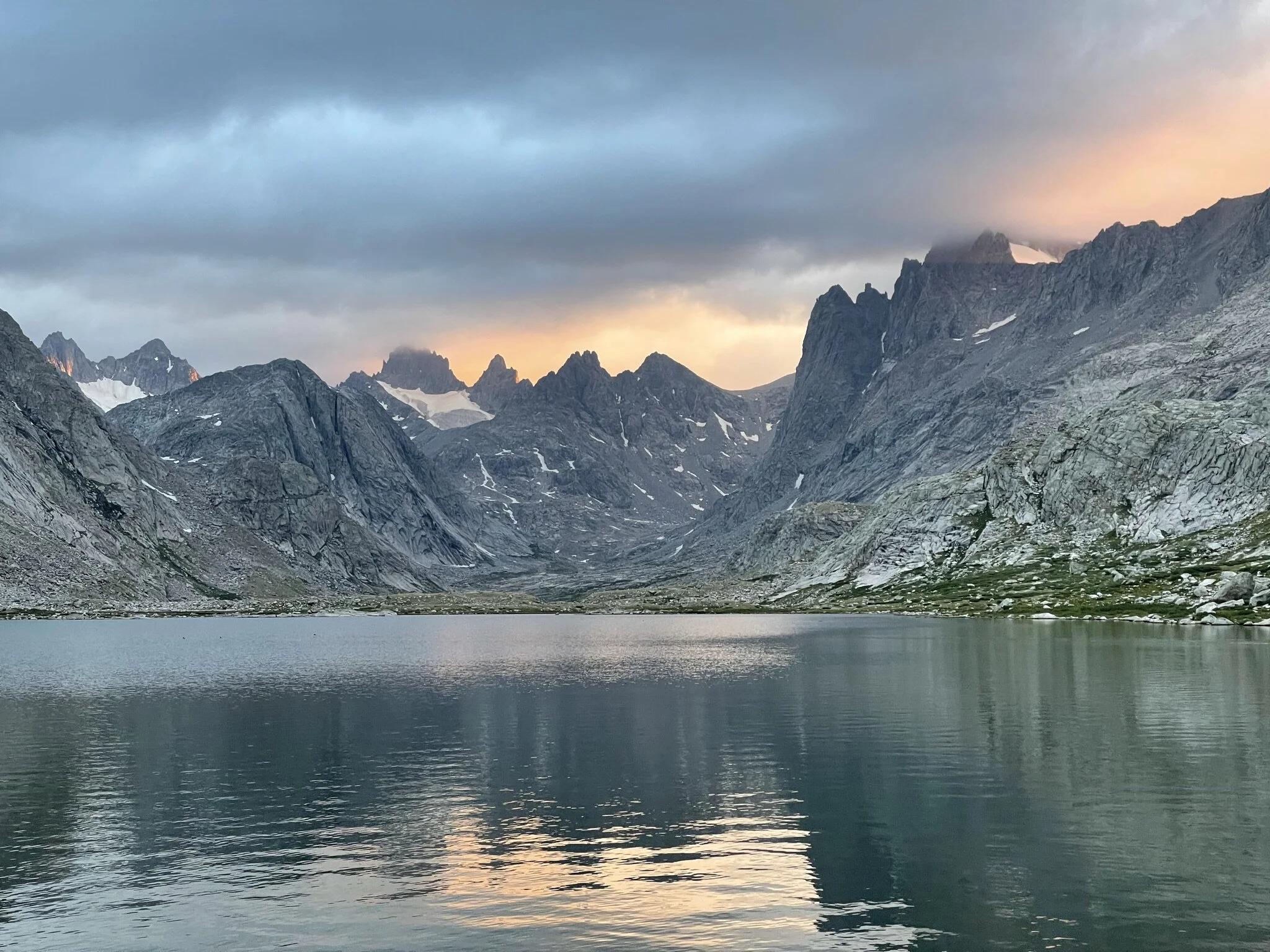
Mount Elbert is the tallest mountain in Colorado in the United States, it is located west of Denver, with the closest major city being Leadville. It is a part of the Rocky Mountains and many other mountains are visible while on this hike. Historically there was debate as to whether Mount Massive or Mount Elbert was the tallest mountain in Colorado. Ironically they are very close to each other and you can see Mount Massive from Mount Elbert.
Logistics
We knew based on our limited experience summiting mountains, that starting early was important. This was compounded by inconsistent weather reports leading up to the night before our intended attempt to summit. We were staying in Denver the night before, so we woke up at 4AM and drove directly to the trailhead. The trailhead was a little over 2 hours west of Denver. The nearest town is Twin Lakes, but you pass through Leadville right before you get on some forest roads as you approach the trailhead. You know you are getting close when you see many rustic campsites and some signage. Waking early helped get us on the trail by 6:20AM, which would prove to be very important as you’ll see later on.
Hiking
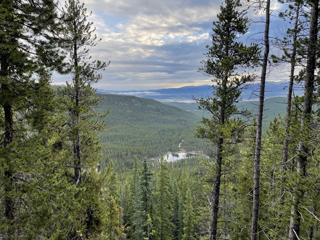
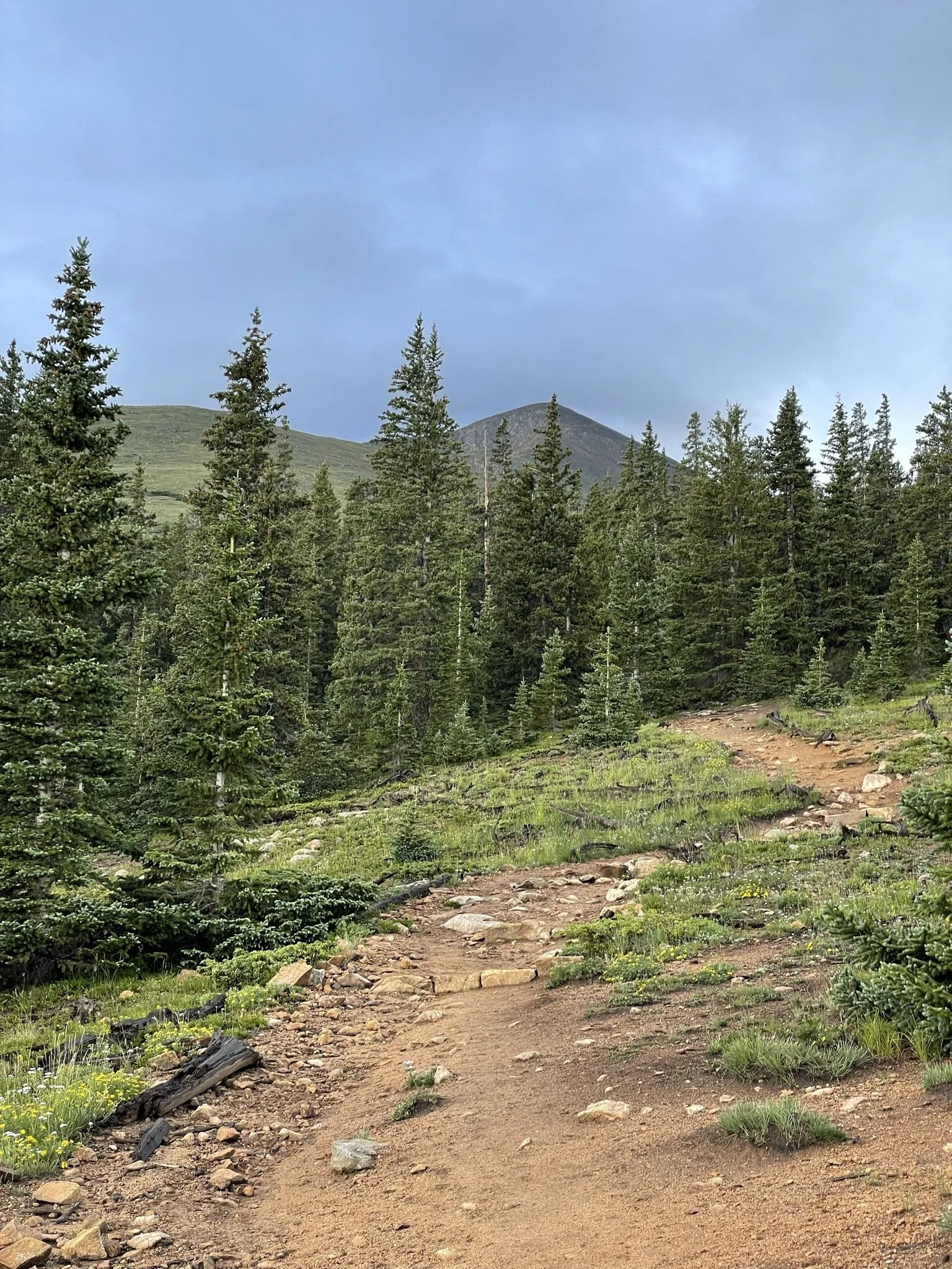
We actually started our hike on the road, having to walk a little over a mile to get to the official trailhead. The road was closed to cars as they were working through the downfall that damaged the road. This presented a great opportunity to warm up the legs and mentally prepare for the challenge to come. As we approached the trailhead, we decided we would take on this challenge individually and meet at the summit. This worked well for me, as my excitement turned to adrenaline and I felt motivated to summit as quickly as possible.
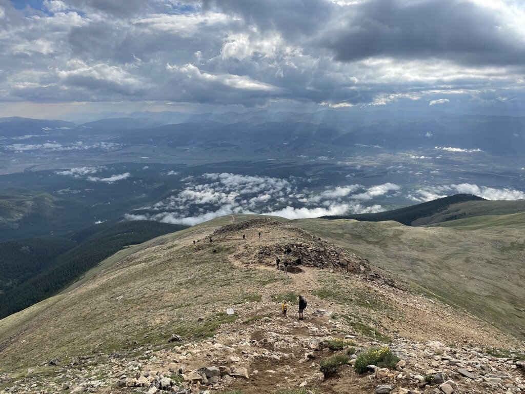
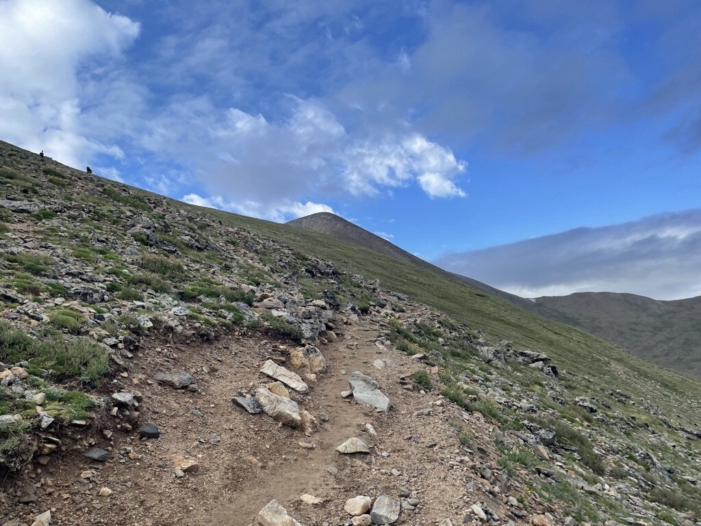
The combination of excitement and anxiousness to ensure I got to the top before any bad weather motivated me to push hard. This resulted in a pretty quick pace in the first 2-3 miles as we were still below treeline, below 12,000 feet of elevation and not managing steep ascents. This didn’t last long after we got above treeline! From there, the ascents grew very steep and the winds picked up. It was time to put my head down and push onward. This hike is not one with high levels of exposure or risk, but what it lacks in technical difficulty, it provides in views and steepness. It was awesome to have a straight path to follow for what felt like hours. I really enjoyed being able to see the goal, although there are two false summits along this trail.
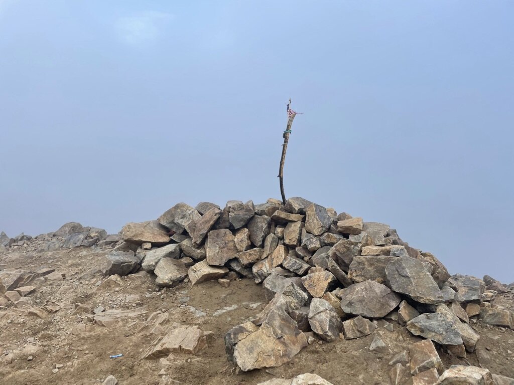
When I got above 13,000 feet, I noticed I had slowed down a bit, but thankfully I was able to keep moving, albeit at a rather slow speed. As I approached the last few hundred feet, I noticed darker clouds at the summit. I could see clear skies all around, so I wasn’t worried, but I was motivated to get to the summit, check the box, then focus on my safety and the safety of my friends hiking with me. I ended up summiting surrounded by clouds and lacking views. I would guess this isn’t super uncommon for peaks this high, but it didn’t take away from the sense of accomplishment that I felt. I took shelter under some rocks as I awaited my first friend to summit after me. One side note, is that I regret not having taken a better cold-weather kit. Although we hiked in July, I was wearing everything I had brought with me at the summit. Never underestimate the dramatic weather differences between levels of altitude in the mountains, even in the summertime!
Once my first friend arrived, we walked to the summit together and took pictures. It was shortly after this moment, that wind increased and hail started pelting us like an air soft gun! We took shelter together to wait out this weather and await our last friend to reach the last climb. Finally, as our last friend summited, we agreed we were done hanging around at altitude and started a quick descent to get back to better weather and warmer temperatures. The timing of our summit ended up being perfect, as the combined hail and wind deterred many from attempting to summit. We saw very few people continuing up as we descended down. The remainder of the hike we took very slowly and cheerfully discussed our experience summiting this 14er and high point. It was not only the last miles of this hike, but also the last miles of our vacation, so soaking everything in was a priority to us! All in all, this was an experience I will never forget. This is the third tallest high point in the US and the second tallest mountain in the contiguous US and we all summited it! It’s days like this day that continue to remind me how much I love hiking and being in the mountains with friends!
Photos
Photos taken on this trail are with my iPhone 12 Pro.