Cirque of the Towers - July 2021
Summary
The Cirque of the Towers is a popular mountain formation in the South section of the Wind River Range in Wyoming. Hiking to the Cirque offers changes in altitude, scenery, and vast views of the mountains. The Cirque is most commonly visited as part of a loop hike, however given time constraints, we elected to hike to the Cirque via an out-and-back style 20 mile, overnight hike.
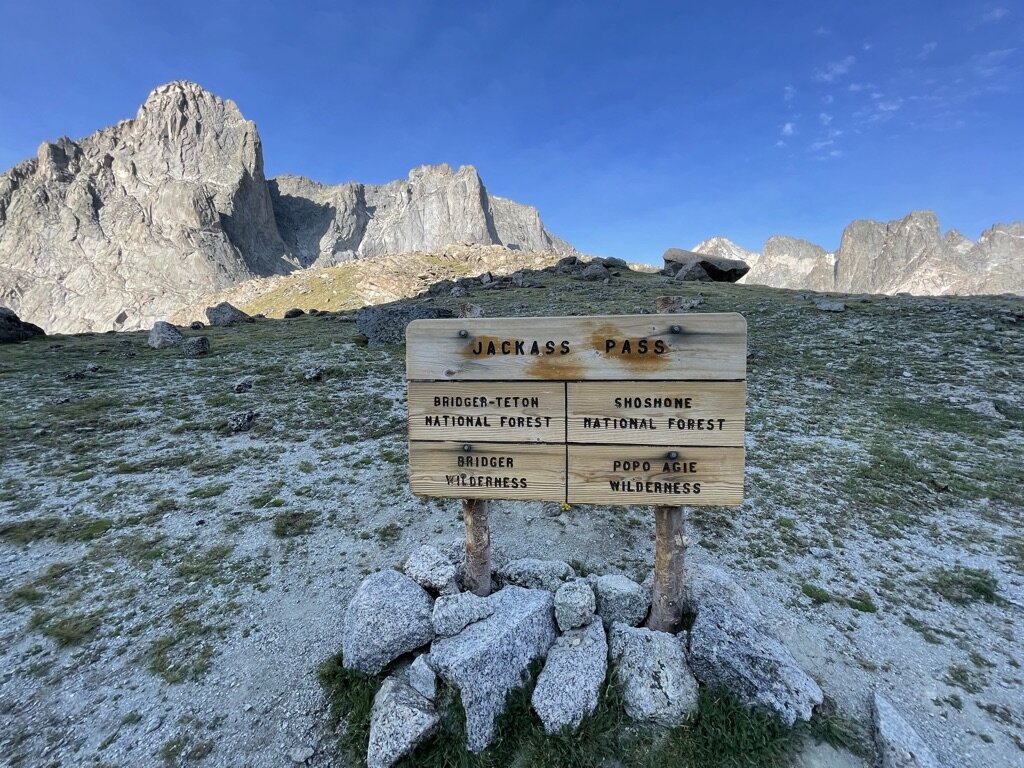
This trail is closely what we followed for this hike, at least the eastern portion of this loop. As previously mentioned, it is very common to complete this loop and have The Cirque of the Towers as the main attraction at around the halfway point in the loop. Due to time constraints and past downfall in the region, we decided it would be best to do this hike as an overnighter in order to afford us more time in the central region of the Wind River Range later in the week. We measured from the trailhead to the top of Jackass Pass to be about 10 miles.
Where
The Cirque of the Towers is located in the Wind River Range in Wyoming, in the United States. The closest town to this area is Lander, Wyoming. The trailhead for this hike is quite a ways from a main road and required over a half hour of very slow driving on dirt roads. This is a pretty remote trailhead by most people’s standards.
Logistics
It took us about 7.5 hours to get to the trailhead after flying into Denver. You can pretty easily make it from Denver to Laramie or Cheyenne, but then after that Wyoming opens up quite a bit. As mentioned earlier, a good portion of this drive, if you come from the southeast, is on dirt roads and very slow going. Be prepared to drive 20-25mph for quite some time. Once you reach the trailhead, there is camping on site and a vault toilet, as well as, a trail map to look into hiking logistics. This is a popular destination in the Winds, so expect lots of cars if you are planning to do this hike in the peak season (July or August). We fortunately were able to find a good parking spot before we got on trail. This area is popular for day hikers, backpackers, and rock climbers, so expect to see all different types of outdoor enthusiasts!
Hiking
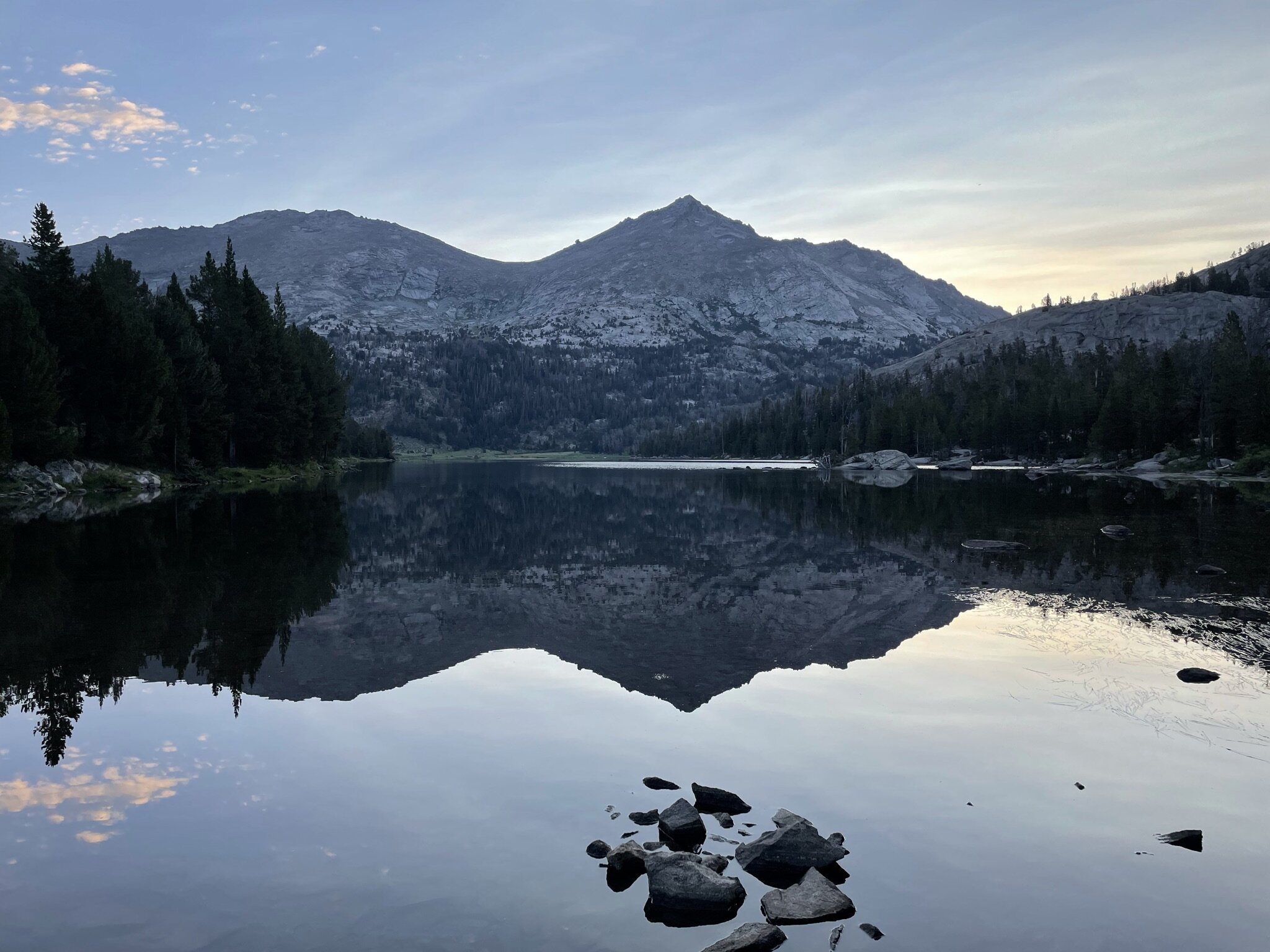
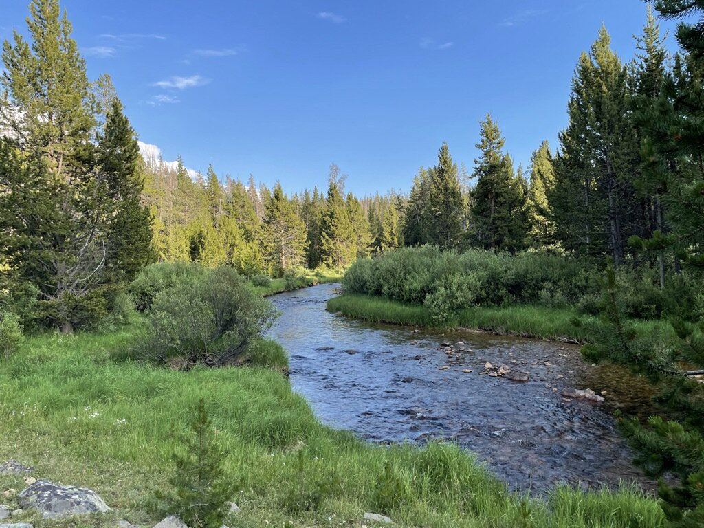
This hike starts outs relatively flat on a dirt trail with few rocks and roots. You start below treeline, so you immediately walk into the Bridger National Forest. Within about a mile you will come to a fork in the trail and we elected to turn right to take the shorter route to the Cirque. At this point, the trail follows the Big Sandy River very closely and there are times you can clearly see the river. The hike continues in the forest for the first 6 miles or so at which point you get a view of Big Sandy Lake. This is a common camping area with a few designated camping locations, and given we arrived at the trailhead at 7PM, we felt 6 miles was sufficient for the day. We ended up finding a great camping area at the southern end of the lake.
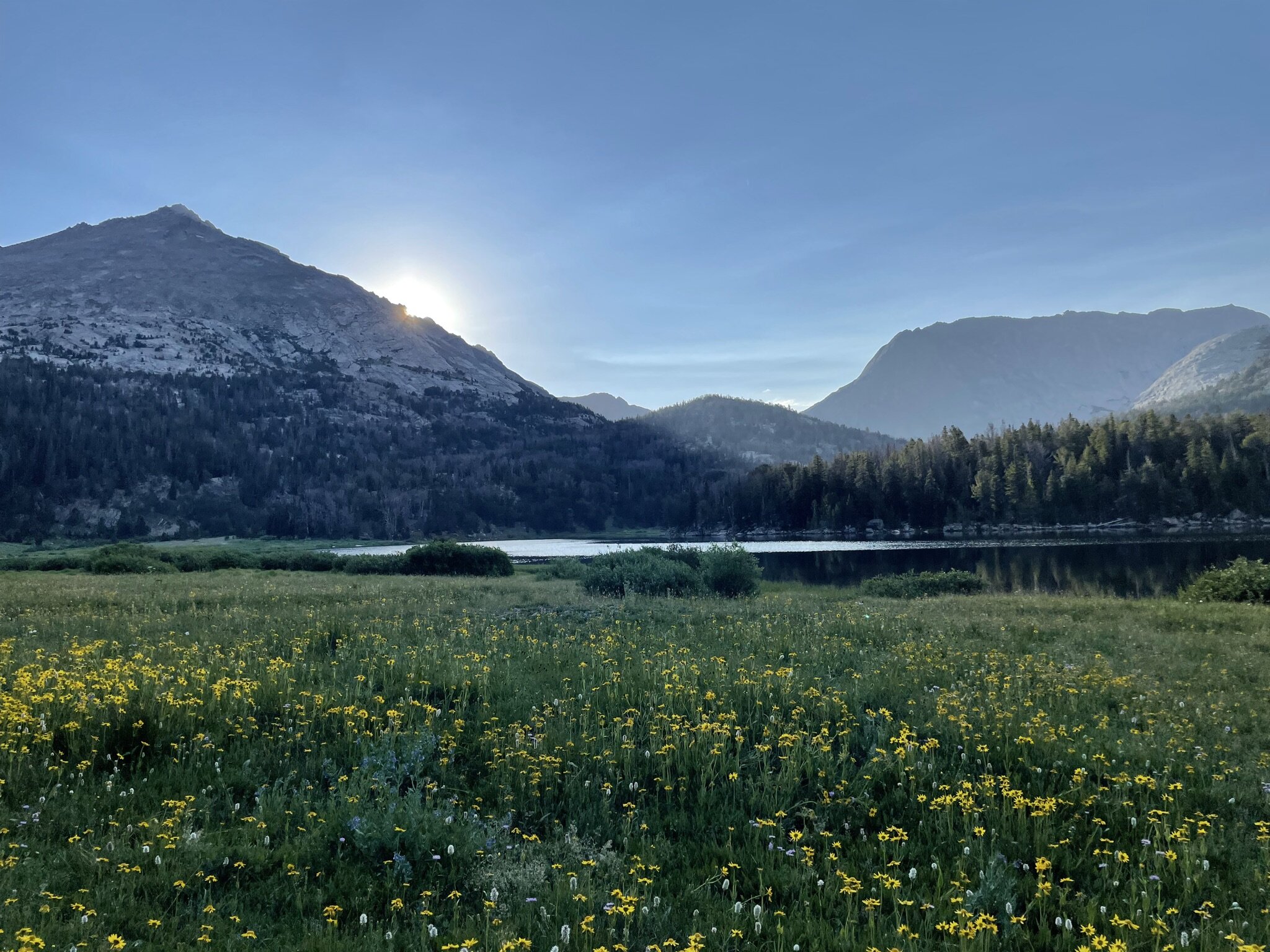
One piece of advice is to prepare for condensation when camping near a large body of water, even if you are in a rather arid region. We camped quite a ways from the lake, however we awoke the next morning with condensation to deal with. Thankfully, the morning views of Big Sandy Lake and the surrounding mountains (Schiestler, Big Sandy, Dog Tooth, and Mitchell) were enough to distract us while we wiped down our tents and sleeping bags! After spending the first part of the morning enjoying coffee, gathering water, and taking in the views, we decided to press on towards the Cirque. We were back on trail around 6AM.
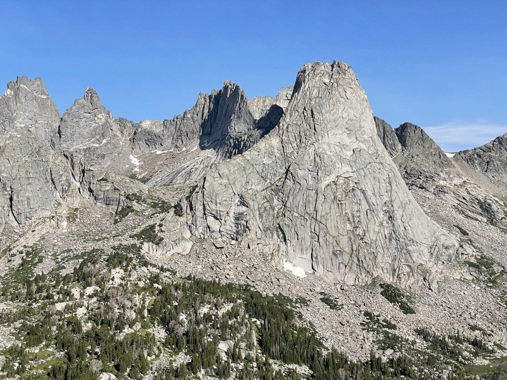
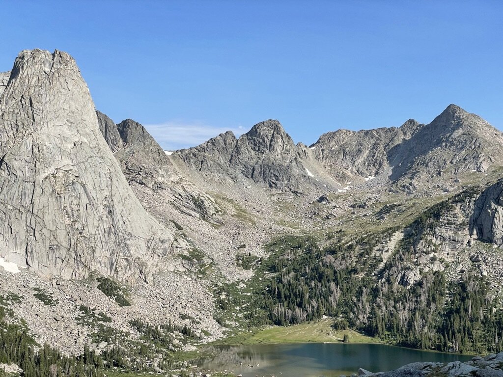
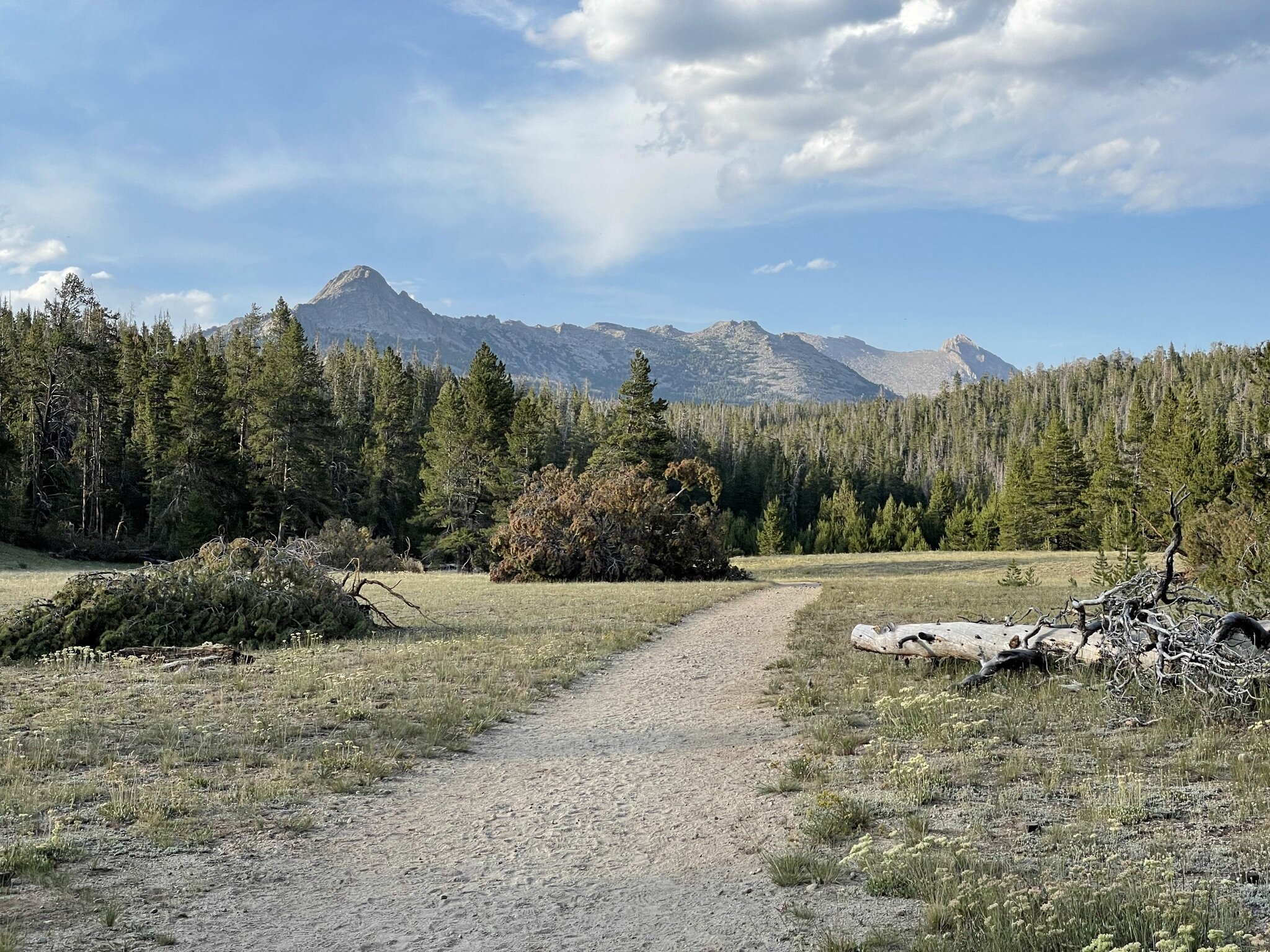
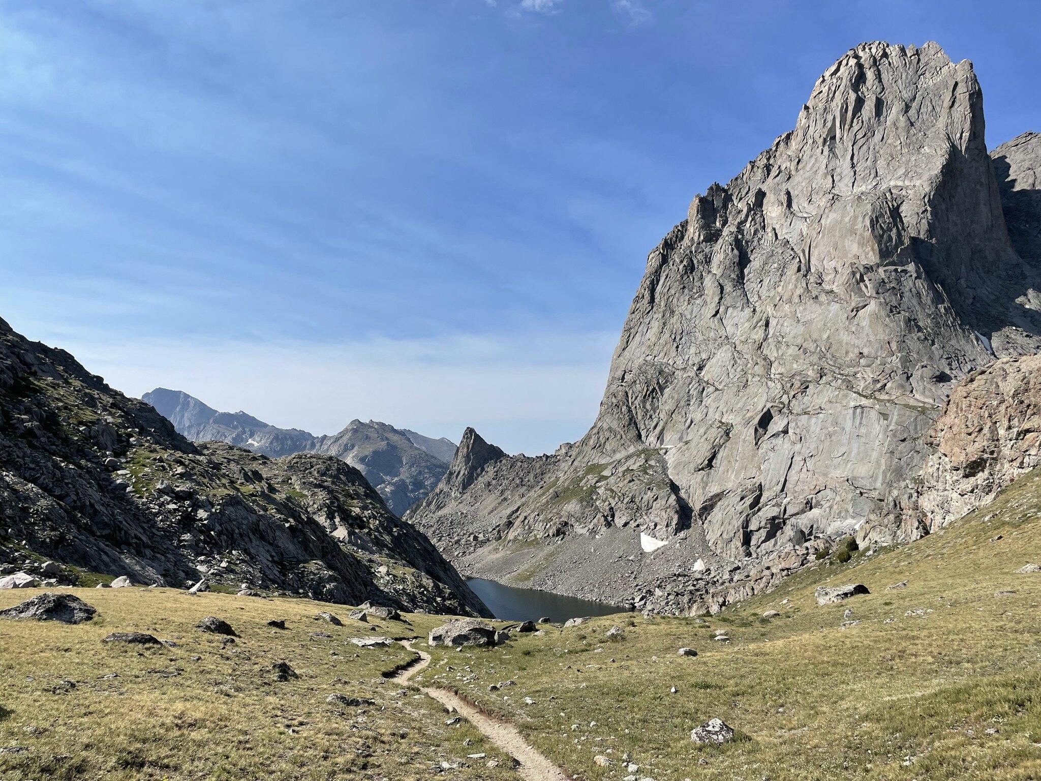
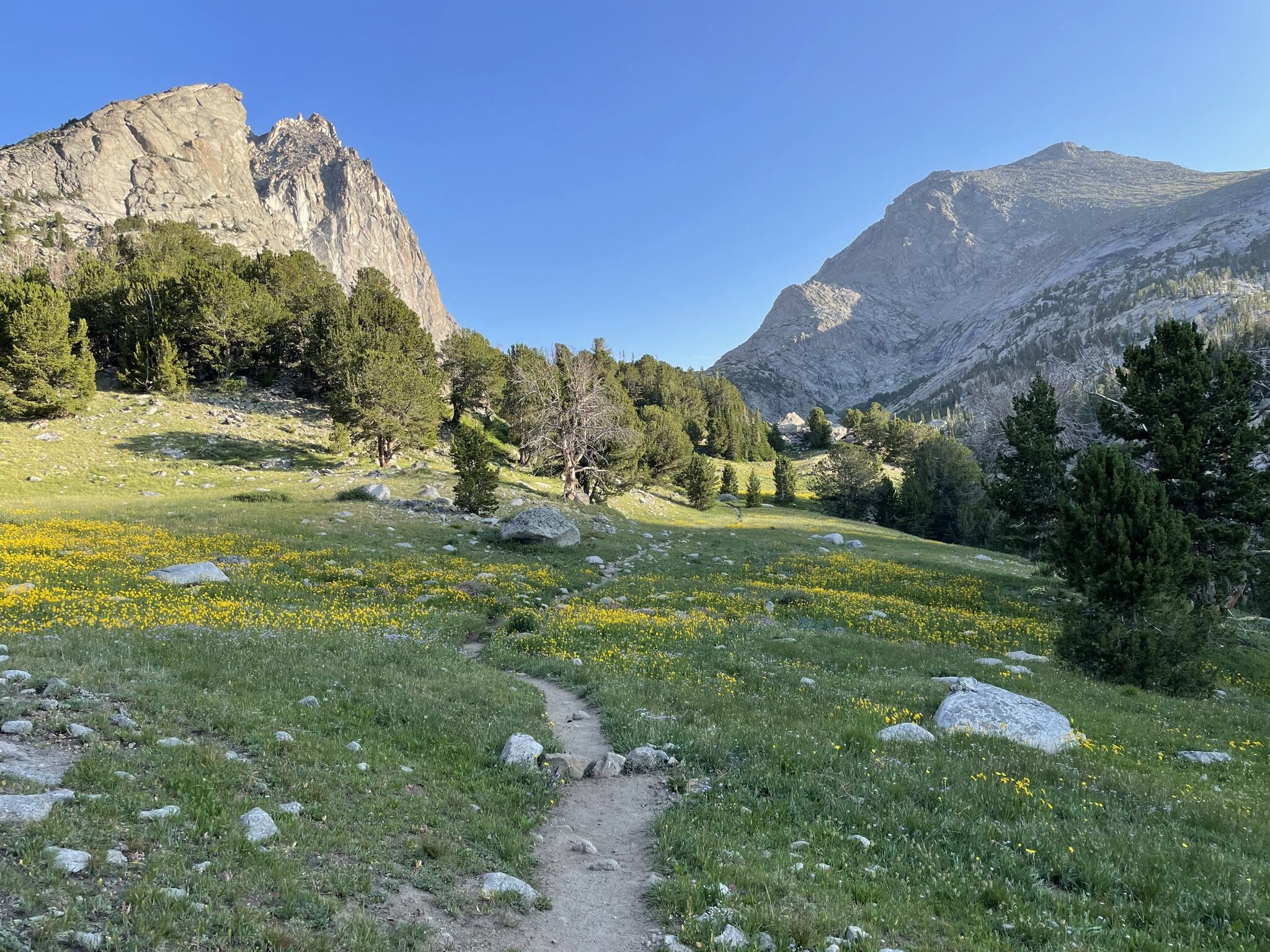
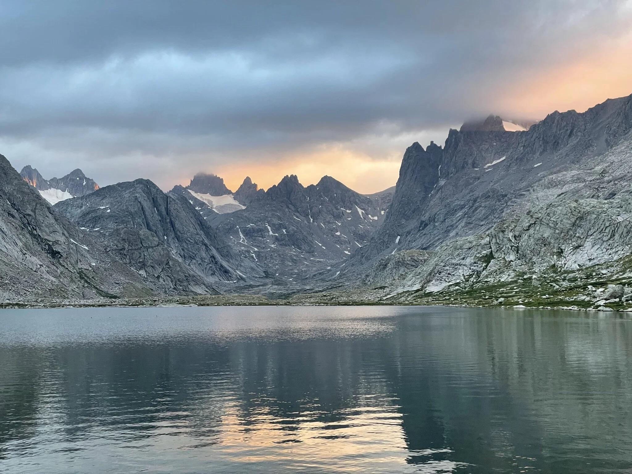
Within the first mile of this next stretch of the hike, it is clear we are headed towards the mountains. The trail changes from relatively flat and wooded, to more open and a slow ascent. The ascent continues throughout the remaining 4 miles and within the first 2 miles you will rise above the treeline. You’re greeted with views of North Lake and Arrowhead Lake as you make your way towards Jackass Pass. I especially liked the area just before Jackass Pass as both Arrowhead Lake and War Bonnet Peak made for an immediate reminder that we were out west, hiking in the mountains! The final ascent up to Jackass Pass is only a few hundred feet, but given our recent flight into Denver, was a good test of our acclimation to the higher altitudes. Upon arriving at Jackass Pass, we were able to take in our first glimpse of the Cirque of the Towers. It was quite a magnificent view and as the saying goes, pictures really don’t do it justice! We decided to take it all in, we should have a late breakfast on the pass and enjoy the scenery. We ended up staring at the mountain range for around 20 minutes before deciding it was time to start heading back to the car. Thankfully, the return trip to the car was mostly downhill and easy navigating. We hiked rather quick coming out, which is typically fashion when hiking an out-and-back style hike. We ended up making it back to the trailhead around 1:00 and enjoyed spending some time resting and discussing our experience before we started our drive from the trailhead to Pinedale.
The Cirque of the Towers is popular for a reason. It was a beautiful area with a great mix of mountains, lakes, and forestry. It is absolutely worth your time if you are planning a trip to the Winds, and for some is the start of a much larger adventure than ours. A bigger loop trail would be a cool extension to what we did, however the combination of Jackass Pass and Texas Pass in a single day would be a challenge. I strongly recommend anyone thinking about adding this location to their bucket list to go for it! You won’t be disappointed.
Photos
Photos taken on this trail are with my iPhone 12 Pro.